The Lycian Way: Hiking a Piece of the Trail from Antalya
The first time someone told me they were hiking “the Lycian Way,” I pictured a single, tidy trail you either did or didn’t finish, like a checklist. I’d already spent a week bouncing between beaches and ancient sites along this coast before I actually looked at a map of the thing, and what I found surprised me: it’s not one hike, it’s a waymarked long-distance path that runs roughly 500km along the Mediterranean coastline of Turkey’s Turquoise Coast, and almost nobody walks it end to end in one go. Most people, myself included, just pick a stretch.
What the Lycian Way actually is
The trail traces the old Lycian region, threading past ruins, pine forest, and cliff-edge coastline between roughly Fethiye and Antalya, with the most walked sections clustered around the towns further south and west of the city. It’s marked with red-and-white paint flashes on rocks and tree trunks, the same waymarking system used across long European trails, so you’re never far from a marker if you’re paying attention. What I didn’t expect is how much the terrain changes over a short distance — one hour you’re on a shaded forest track, the next you’re scrambling over loose limestone with the sea directly below.
Because the region I was staying in sits at one end of the trail’s reach, day sections near Kaş and Kalkan turned out to be the easiest to fit around everything else I wanted to do. I didn’t need a tent, a resupply plan, or two weeks free. I needed a morning.
You don’t need to do the whole thing
This is the part I wish someone had told me before I started reading trail blogs and feeling intimidated. Thru-hiking the full Lycian Way is a serious undertaking — weeks of walking, logistics around water and accommodation, and a level of planning that has nothing to do with a coastal holiday. But the trail passes directly through or near towns that are already on most itineraries along this coast, which means you can walk a single well-marked section as a half-day or full-day outing and be back at your hotel for dinner.
I did two separate short walks on two different trips. The first was a stretch near Olympos, following the path down through pine trees toward the ancient city ruins and the beach — more a scenic descent than a strenuous trek. The second, a while later, was a coastal section closer to Kaş, where the trail hugs cliffs with views out toward the islands and, on a clear day, the coastline of nearby Kalkan. Neither took more than a few hours. Neither required anything I hadn’t already packed for the trip.
If you want a rough sense of what different short sections feel like, here’s how I’d describe the ones I’ve either walked or scouted:
| Section (near) | Character | Rough time |
|---|---|---|
| Olympos to the coast | Forest descent, mostly shaded, ends at ruins and beach | 2-4 hours |
| Kaş area coastal stretch | Exposed cliff path, sea views, uneven rock | 3-5 hours |
| Patara area | Flatter, open ground near the long beach | 2-3 hours |
These are approximate — trail conditions, your own pace, and how many photo stops you take will move these numbers around. I’m giving you a feel for the trail, not a fixed schedule to follow.
The Patara stretch is worth calling out specifically: the trail comes out beside Patara’s ruins and long beach, so if you time it right you can turn a flat, open walk into an afternoon on the sand without much extra planning. The Patara beach and ruins guide has more on what’s there once you arrive.
Why I wouldn’t do this in July or August
I hiked my first section in early October and my second in April, and I’m convinced that was the right call rather than a lucky accident. Midsummer on this coast means air temperatures that regularly sit in the low-to-high 30s°C, with almost no cloud cover and, on the exposed cliff sections, no real shade for long stretches. I’ve done a hot midday walk in this region in July for a different reason entirely, and it was miserable in a way that had nothing to do with fitness — it was just too much sun, radiating off pale rock, with nowhere to hide from it.
Spring and autumn give you cooler air, softer light for photos, and — a smaller thing but a real one — noticeably fewer people on the trail. October felt almost empty. Fields were still green in April in a way I doubt they are by August. If your trip dates are flexible at all, this is the one piece of advice I’d actually insist on rather than just suggest — the guide to the best time to visit Antalya covers the same shoulder-season logic for the coast more broadly, not just for hiking.
What I actually carried
I didn’t do anything specialised here, and I’d push back gently on anyone who tells you that you need technical gear for a short Lycian Way section. What mattered:
- Proper hiking or trail shoes, not sandals or city trainers — the limestone sections get loose and slippery, and I turned my ankle slightly on the Kaş stretch because I’d underestimated how uneven the ground was.
- More water than felt necessary. There’s shade in places, but not reliably, and I didn’t pass a shop or tap on either walk.
- Sun protection — hat, sunscreen, sunglasses — even in the cooler months, because a lot of the coastal sections have zero tree cover.
- A phone with the trail route downloaded, since signal dropped out more than once and the waymarking, while decent, isn’t so dense that you never wonder if you’ve missed a turn.
I didn’t bring poles, a proper pack, or any of the thru-hiking equipment you’ll see listed for the full route, and I didn’t need any of it for a half-day walk.
Combining it with the rest of the coast
What I liked most about treating the Lycian Way as an add-on rather than the main event is that it fits naturally around everything else this coast is built for. A morning walk near Olympos, then an afternoon on the beach below the ruins. A cliffside stretch near Kaş, then a boat trip the next day out toward /destinations/kekova/ to see the part-submerged ruins from the water.
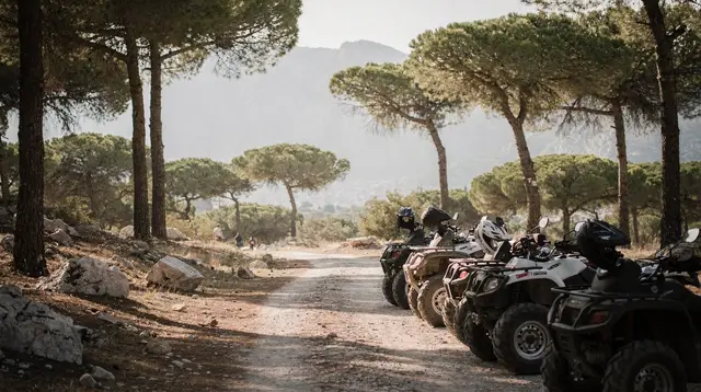
If you’re based further along the coast, days spent on canyon or mountain terrain — I did a jeep excursion through a canyon and jeep route near Alanya with lunch included — scratch a similar itch for varied landscape without needing to plan a hike at all. There’s also a longer mountain-trail jeep adventure with a riverside lunch stop if you want elevation and forest without walking it yourself.
On the water side, a cruise out to hidden coves and a blue lagoon made a good contrast to a dusty trail day — nothing to carry, nothing to navigate, just the coastline from a different angle. And further along, the tour out toward Gazipaşa’s sea cave and King’s Bay covers a stretch of coast most hikers never see on foot at all. Nearer to where I actually hiked, Kaş boat trips out toward Kekova cover the part-submerged ruins I mentioned earlier, in more detail than I can here.
None of this is instead of the Lycian Way — it’s what filled the days around it for me. I never felt like I was missing the “real” trail experience by only doing two short sections. I felt like I’d found the parts of a very long hike that actually fit a holiday.
Other short walks and ruins worth combining it with
The Lycian Way passes close to more than the two sections I walked, and a few of them are worth building into a trip even if you only ever do one hiking day. Near Olympos, the Chimaera night hike guide covers the walk up to Chimaera, where flames burn naturally out of the rock — a completely different kind of walk from the coastal trail sections, short and usually done after dark. Further west, Saklıkent Canyon is a gorge walk rather than a Lycian Way section, but it scratches the same itch for dramatic terrain without needing hiking-specific planning; the Saklıkent Canyon guide has the practical details.
Closer to Demre, the rock-cut tombs and ancient theatre at Myra sit a short detour from the trail, and the Myra and Demre ancient sites guide is worth reading before you go. And if your trip stretches further west toward Fethiye, the beach and lagoon at Ölüdeniz make an easy pairing with a coastal walk — the Ölüdeniz day trips guide covers getting there and back.
Planning your own section
If I were starting from scratch again, I’d pick a base — Kaş, Kalkan, or Olympos are the most convenient anchors — and ask locally or check current trail condition reports for a section that matches the time and fitness level I actually have, rather than the one that photographs best online. Conditions, waymarking maintenance, and closures (after storms or fire risk periods) do change, so a quick check before you set out is worth the five minutes.
The guide to getting around the Antalya coast is useful for working out how to actually reach a trailhead and back without a rental car, and the Antalya solo travel guide covers some of the same logistics if you’re doing a short section alone.
If you want a fuller framework rather than picking a single section in isolation, a five-day Lycian coast itinerary covering Kaş, Kekova, and Myra or a longer ten-day Antalya, Lycian coast, and Fethiye itinerary both build a hiking day into a broader trip rather than treating it as a separate excursion to plan from scratch.
Lycian Way hiking questions
Do I need to hike the entire Lycian Way to experience it?
No. The full route runs roughly 500km and is normally attempted as a dedicated multi-week trip. Short, well-marked day sections near towns like Kaş, Kalkan, and Olympos let you walk a genuine piece of the trail in a few hours as part of a broader coastal holiday.
What’s the best season to hike sections of the Lycian Way?
Spring and autumn are more comfortable than midsummer. July and August bring high heat and strong sun with limited shade on many coastal sections, while cooler months make the same walk noticeably more pleasant and less crowded.
What should I bring for a short day hike on the trail?
Sturdy hiking or trail shoes, more water than you think you’ll need, sun protection, and a downloaded map or route, since phone signal can drop and shade isn’t guaranteed along exposed cliff sections.
Is the trail well marked?
Yes, it uses a standard red-and-white waymarking system, but markers can be spaced far enough apart on some stretches that a downloaded route or map is a useful backup, especially at junctions.
Which towns make good starting points for a short section?
Olympos, Kaş, and Kalkan are convenient bases with accessible trailheads nearby, and all three sit within reach of other coastal activities for the rest of the day.
Is the terrain difficult?
It varies a lot over short distances — shaded forest track in places, loose limestone and cliff-edge path in others. Proper footwear matters more than raw fitness for most short sections.
Can I combine a hike with boat trips or other tours on the same trip?
Yes, that’s how most visitors who aren’t thru-hiking actually experience the coast — a morning or half-day walk paired with boat trips, canyon excursions, or beach time on other days.
Trail conditions, waymarking, and seasonal closures can change — check a current local source or trail report before setting out on any section.
tours.Explainer
Verified deep-linked GetYourGuide tours. Book through these links and we earn a small commission at no cost to you.
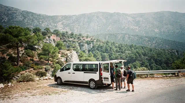
GetYourGuide does not provide a product photo for this activity — the image shows the meeting point, photographed by us.